We run the flight and the pipeline that follows it.
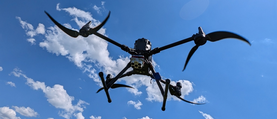
Manned and unmanned aerial photography, LiDAR, thermal, multispectral and aeromagnetic campaigns — planned, flown through vetted operators, processed, and delivered as a data product an engineer can act on. Sensor and platform choice is a calculation, not a preference.
Aerial capture, organised.
Mission planning, aircraft and sensor selection, field execution, processing and handover — under one project manager. We also take on the awkward scopes: a camera that has never flown, a species that has never been counted, a data pipeline that does not exist yet.
Aerial survey, end to end
Mission planning, operator and airspace arrangements, flight supervision and handover — for manned and unmanned photography, LiDAR, aeromagnetic and repeat monitoring flights.
Selection and turnkey supply
Techno-economic comparison of sensor and platform combinations against the project's real budget, followed by turnkey UAV system supply, installation, commissioning and crew handover.
Operators, and how to keep them
Two years of expert-level DJI equipment training behind the programme. We train onboard operators and processing staff, and place prepared specialists with companies that need capacity without headcount.
Non-standard engineering scopes
Detection and inventory models on aerial data, monitoring systems built around drone-in-the-box, and software consulting where the operational process has to be designed before it can be coded.
We are a campaign and data organisation, not a maintenance or distribution business. Aircraft maintenance and repair, certified modifications and STC documentation, sensor repair and equipment logistics are contracted to specialists — we manage the interface, we do not claim the shop.
We hold no exclusive distribution channel with sensor manufacturers. Where procurement is part of the scope, we say who the supplier is and what our role in the transaction is.
Send the area and the decision the data has to support. We return a method, a configuration and a cost.
Method and cost
We state which sensor, platform and altitude answer your question, what that costs per km², and which constraints — permitting, weather window, access — the figure depends on.
Flight and field
Operators are contracted and supervised by us. Flight logs, sensor settings and ground control are recorded as they are measured, and travel with the data.
Product, not files
Clouds, orthos and surfaces where that is the answer; a trained model, a web monitoring system or a written recommendation where it is not.
Timber volume from a neural model
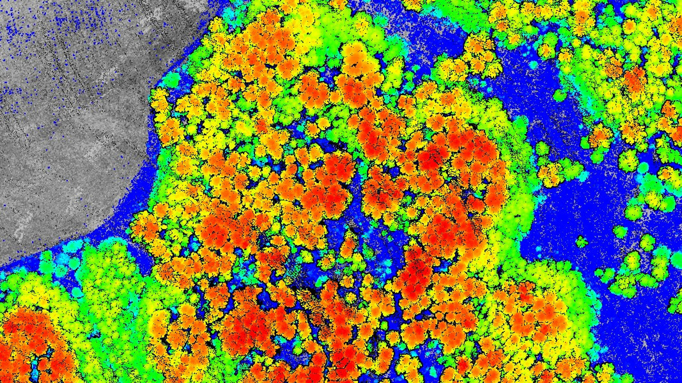
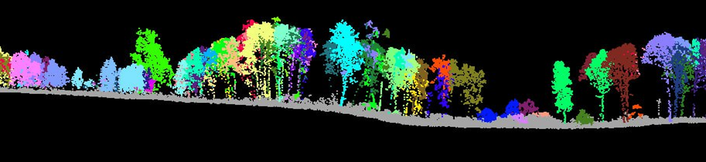
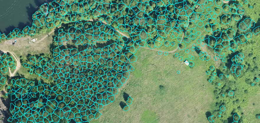
LiDAR, aerial photography and multispectral capture combined into a model estimating standing volume and species composition across a contiguous forest block. Individual crowns are segmented from the point cloud, then height and spectral signature drive the volume estimate per tree.

State landfill monitoring system
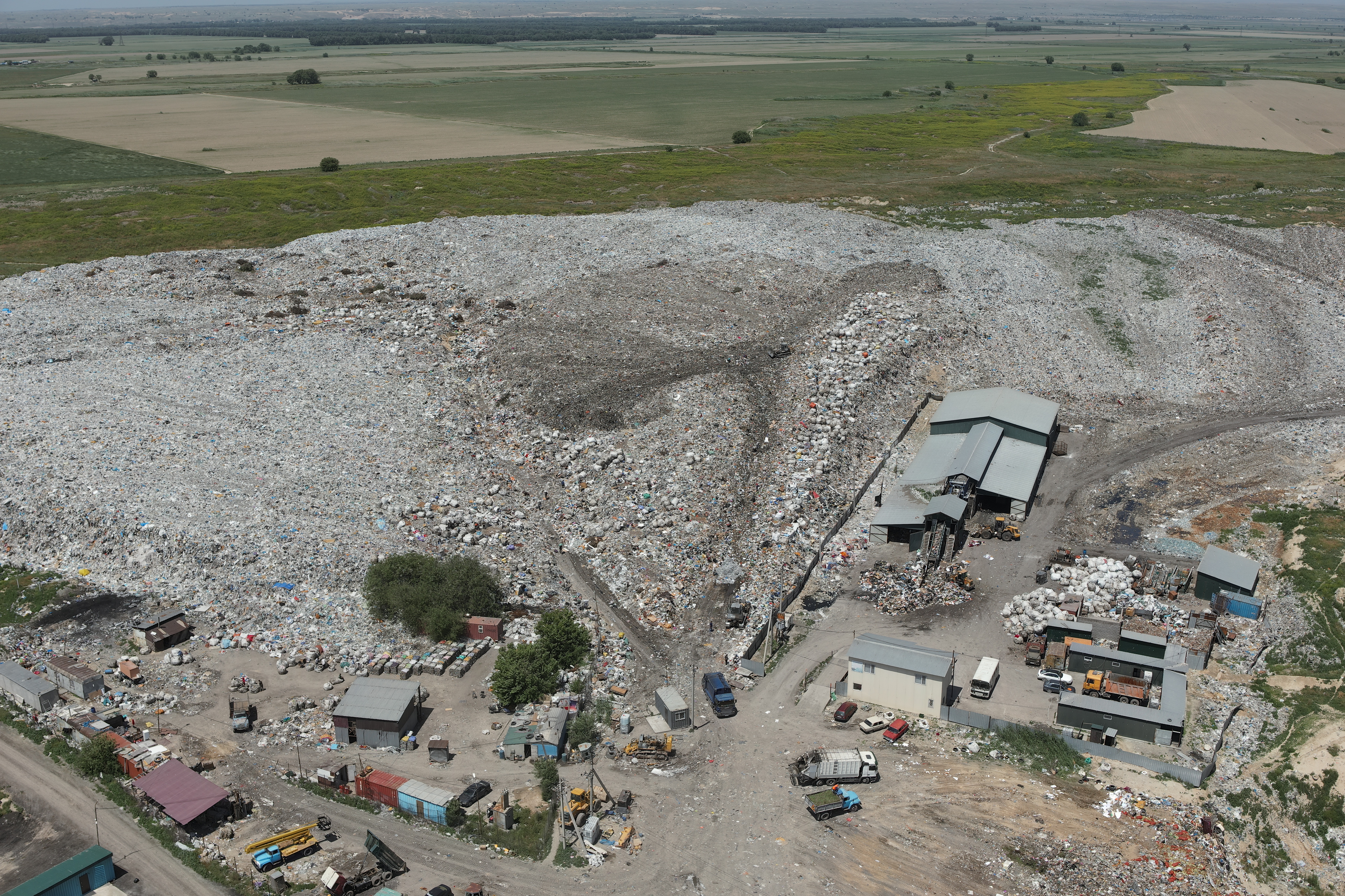
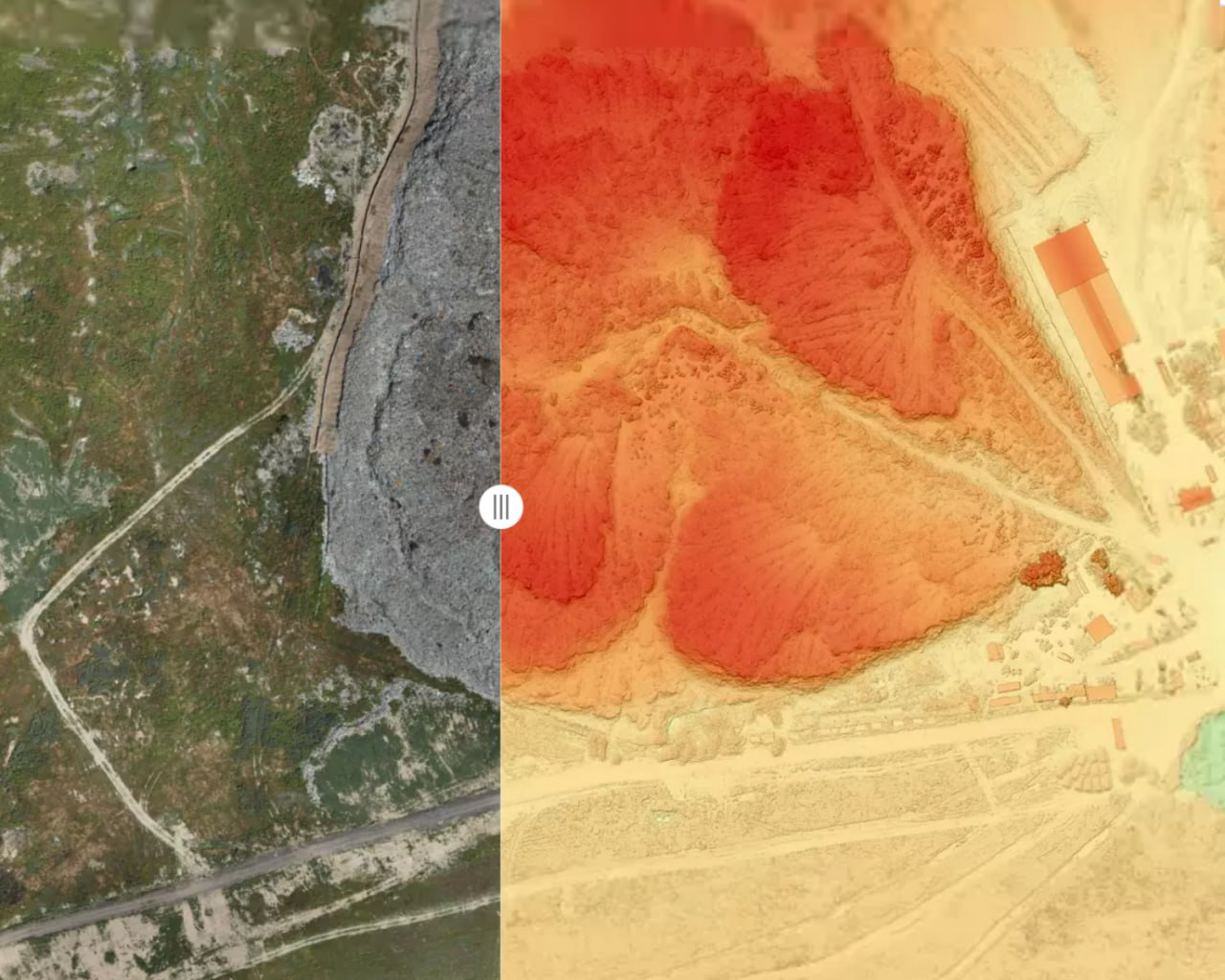
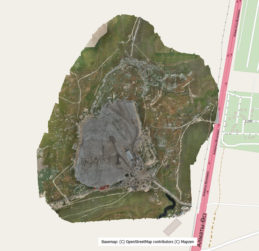
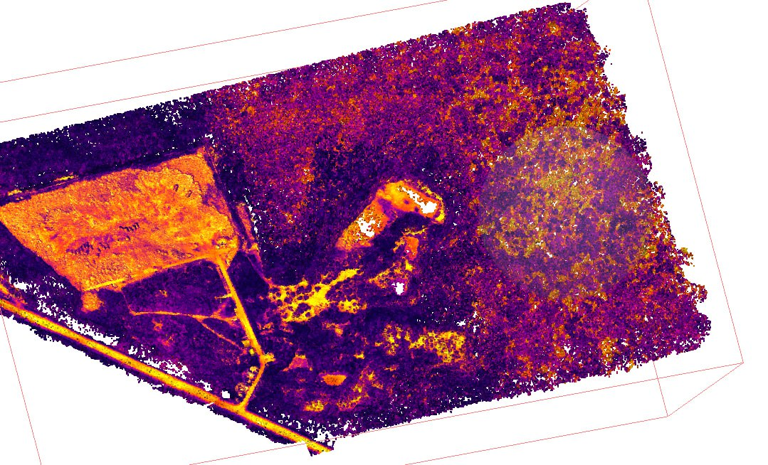
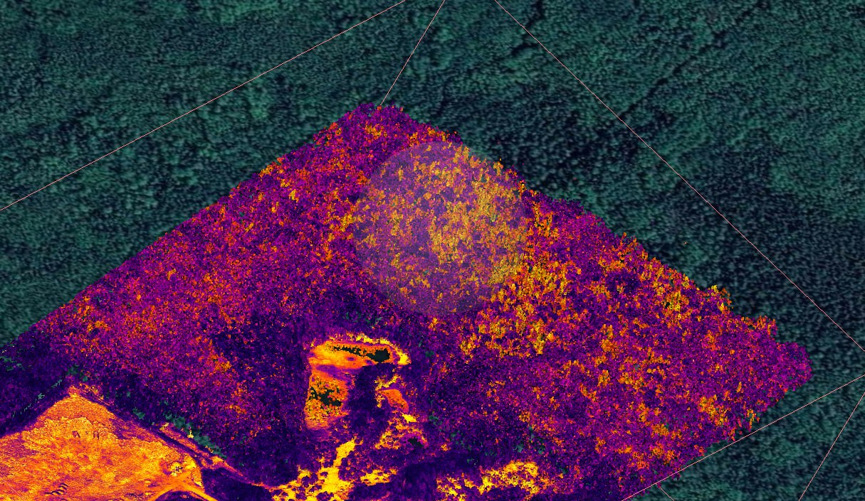
A national monitoring service built on drone capture — photography, LiDAR and thermal — with drone-in-the-box stations feeding a web application used to track sites over time. Repeat flights give fill volume between epochs; the thermal channel flags subsurface combustion before it surfaces.
Legacy large-format camera
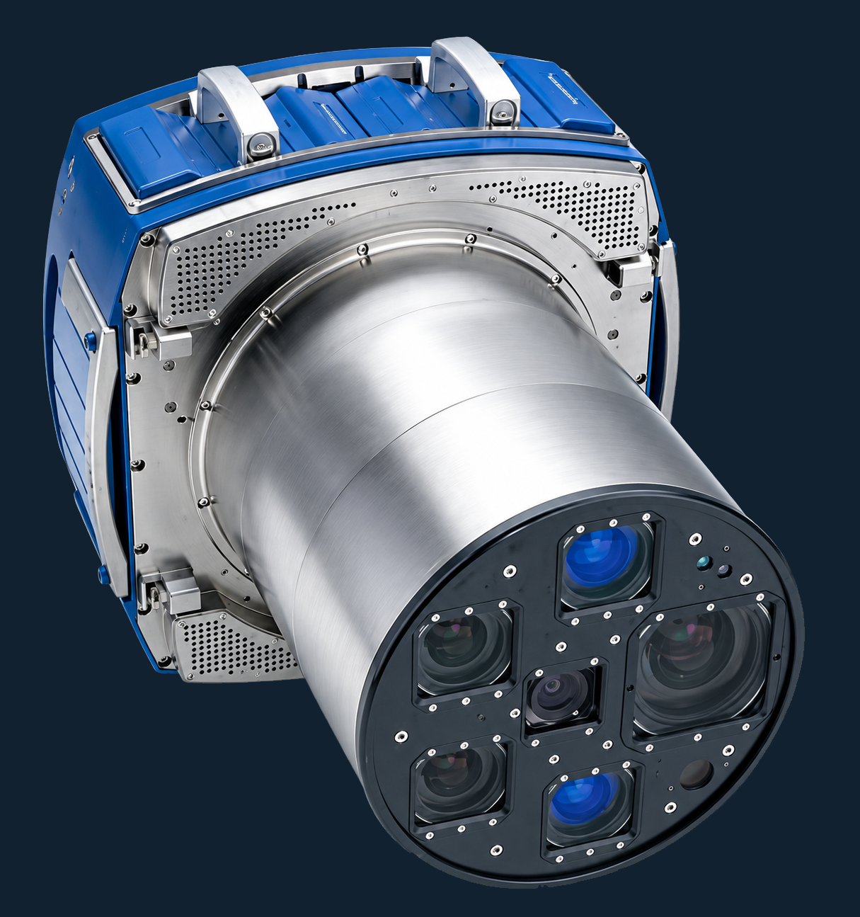
A large-format aerial camera, out of manufacturer support for more than five years, arrived unusable — no integrated flight management system, and its data recorders had failed. We built a current FMS integration around the sensor and re-engineered the recording chain to write to modern storage media, returning it to full operational status at a fraction of replacement cost. Not every capability gap calls for a new purchase — where the budget is not there, what is already on the shelf is often worth a second look before it gets written off.
Sensor operators, trained past the manual
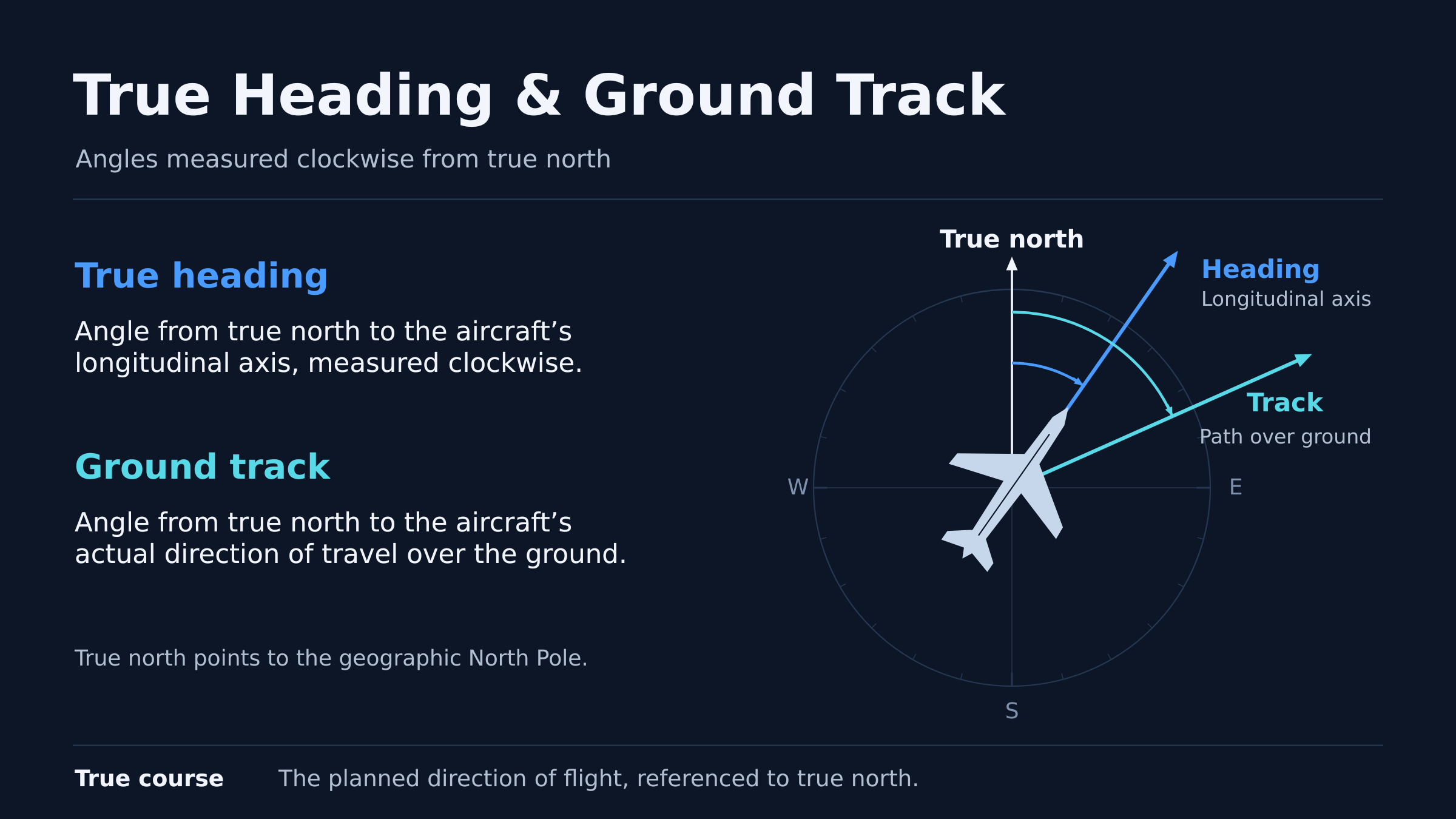
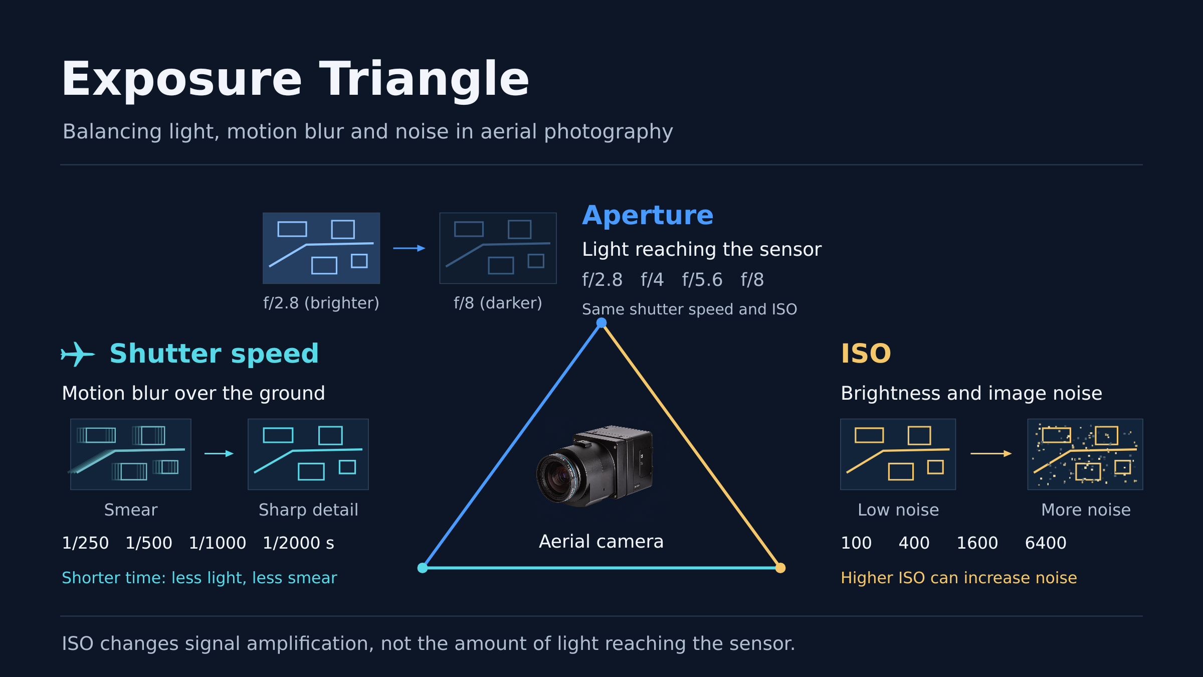
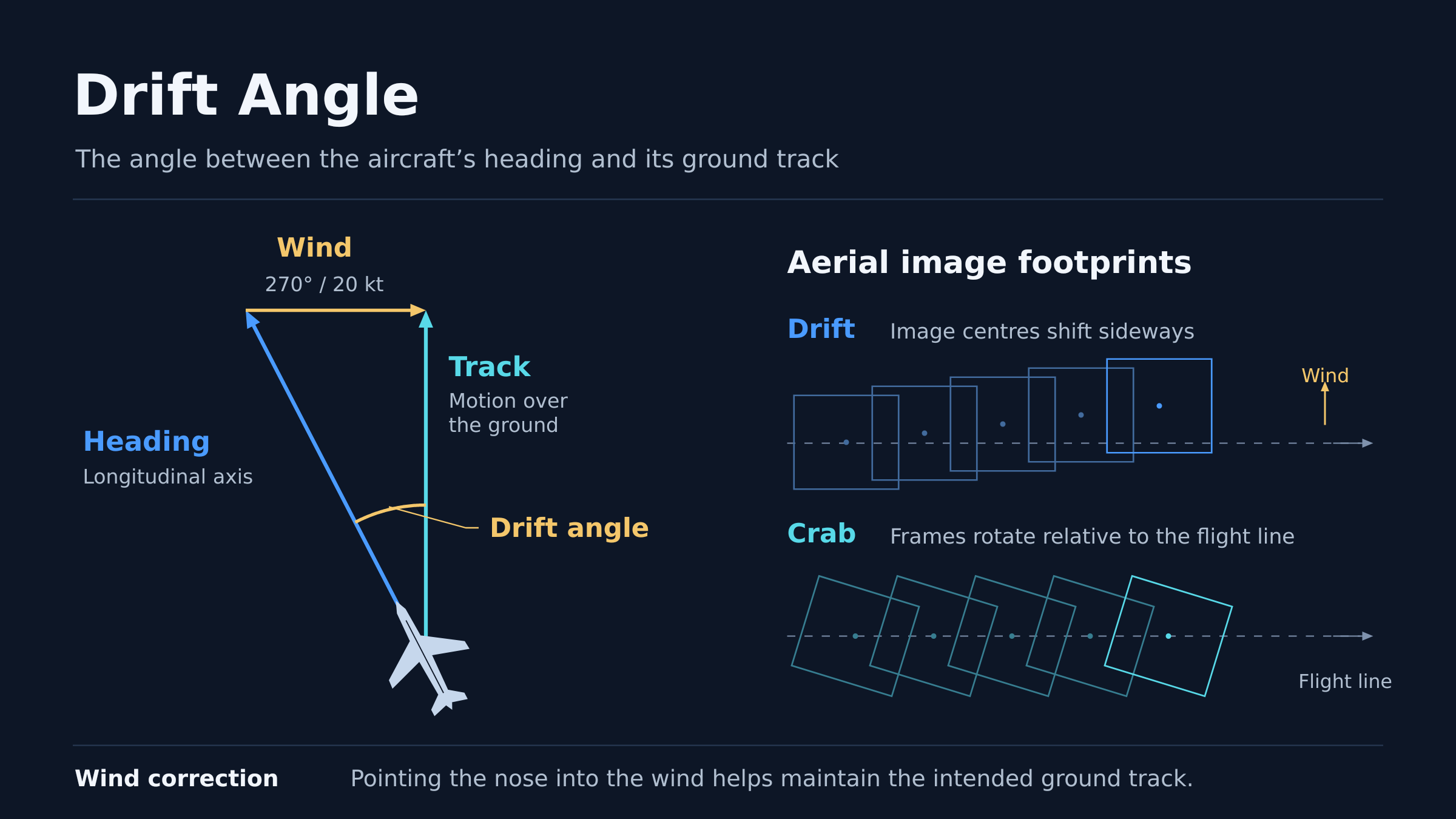
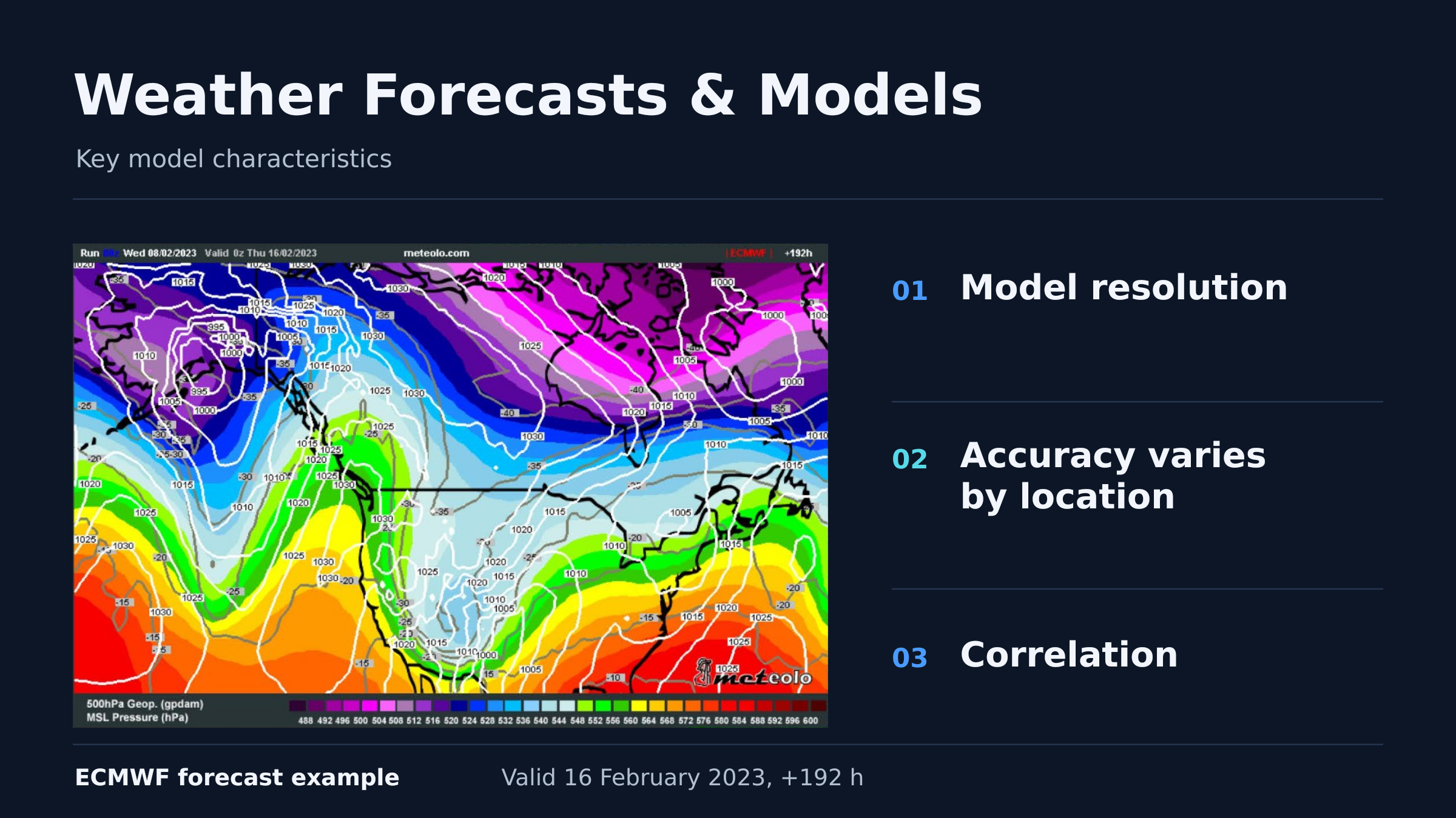
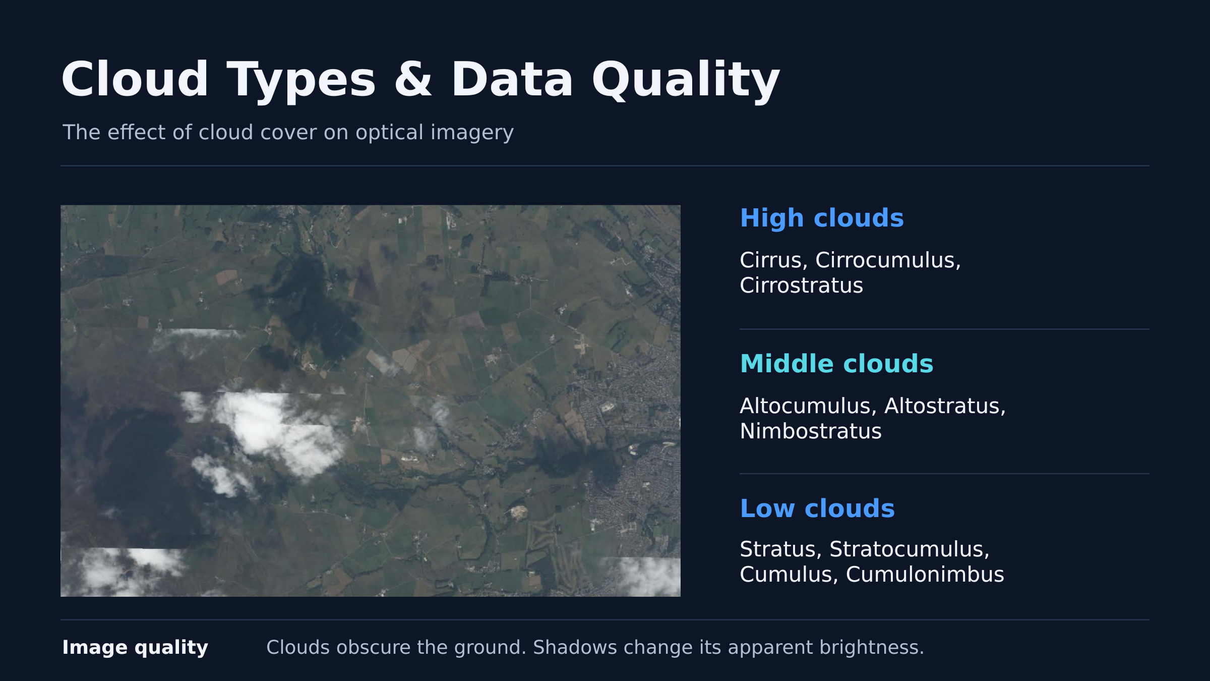
Most in-house operator training stops at the manual — or, at best, a checklist and an SOP — which control drives which setting on a given sensor. We train past that: what an aircraft is actually doing in flight, how weather constrains and shapes a mission, how weather feeds into photography, and how photography works as a physical process before it becomes a checklist step. An operator who understands why a setting exists makes better calls under pressure than one who has only memorised what to set it to. Companies that have put crews through the programme report a clear step up in competence once those operators are back on live work.
Manned aircraft, sourced for stalled UAV projects
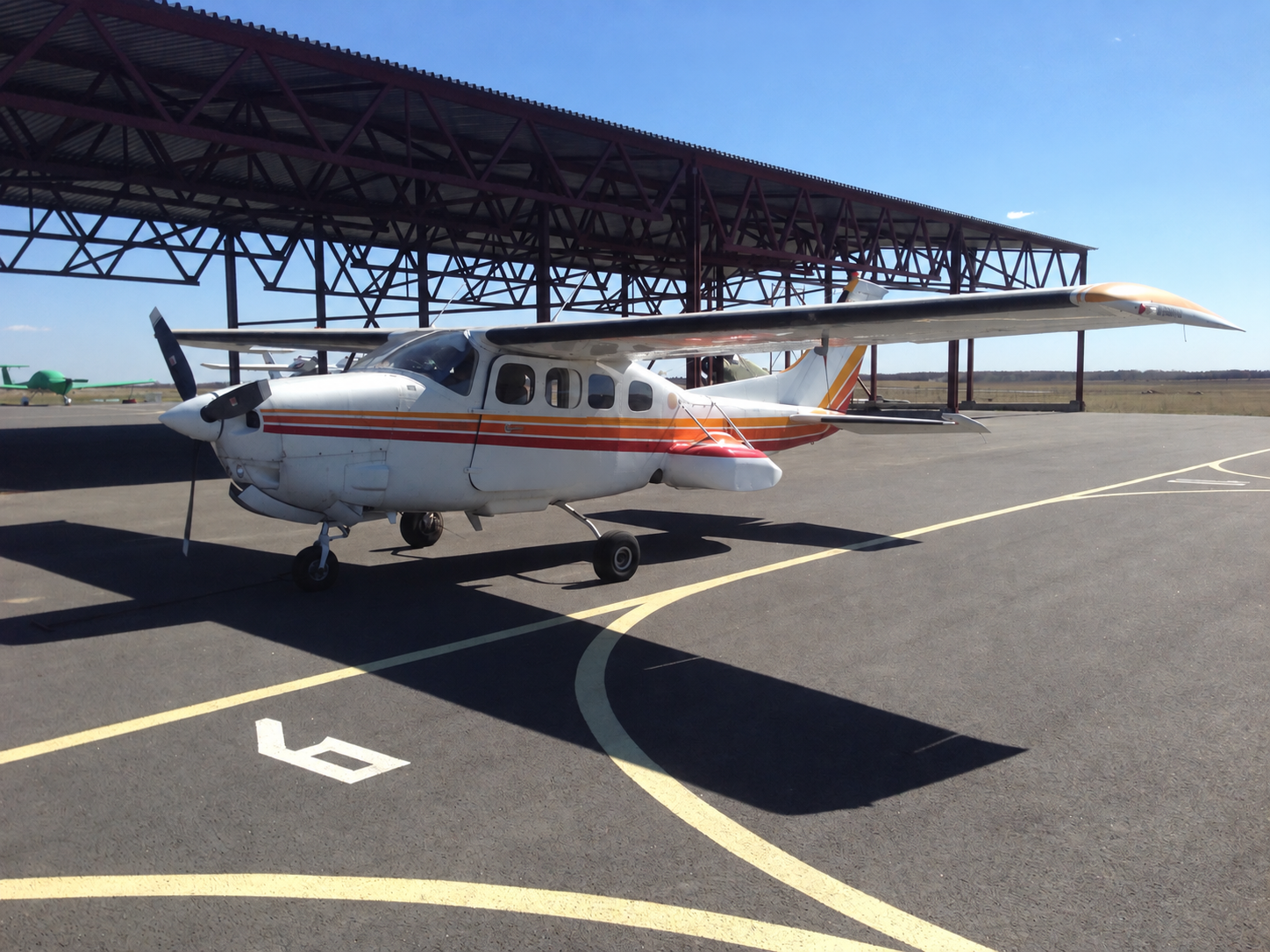
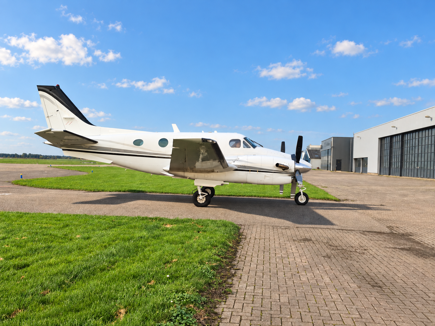
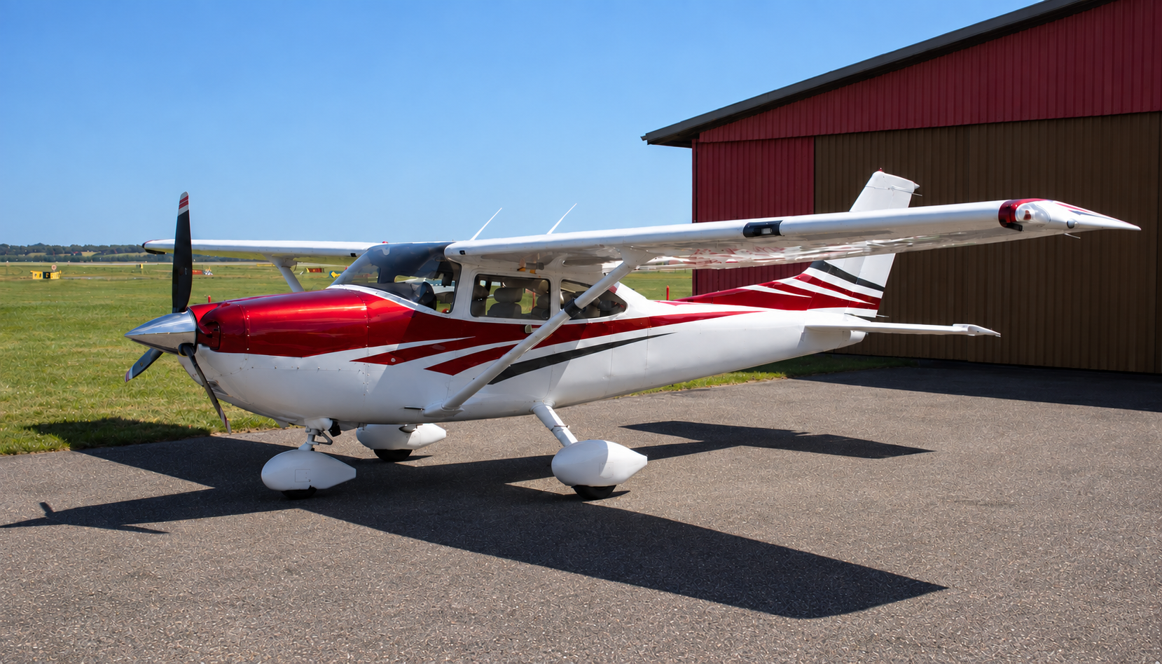
We hold sourcing relationships across multiple regions and can identify manned aircraft when a UAV-based campaign is not moving fast enough to hit its deadline. Sometimes that becomes the primary route to the deliverable; sometimes it sits as a reserve plan, held in case the drone track does not clear in time. We install sensors on manned aircraft either way - aircraft already configured for aerial survey work, and aircraft with no sensor provision at all, where the mount, power and data path have to be engineered before the payload is airworthy. We have carried out that integration on dozens of specialised aircraft types and bring that experience into each new sourcing scope.
Coastal litter detection, nature reserve
Trained a detection algorithm on reserve coastline imagery, validated the output during the physical clean-up, and wrote the ecological recommendations that followed from the distribution.
Satellite imagery georeferencing
Delivered an imagery georeferencing project with a Chinese satellite operator, and hold the direct relationship that allows tasking and imagery supply for later scopes.
An operating company in Tallinn: aerial survey campaign management, remote sensing data products and the consulting around both. Owner-managed, with a partner network instead of a payroll.
The practice grew out of running survey work as a business rather than as a department: building the process, pricing the flight, training the operators and answering for the deliverable. That is still how projects are staffed — a project manager who has flown the mission type, plus contracted capacity sized to the scope.
We work in English, manage teams and subcontractors of up to ten people per campaign, and take processing-only scopes where the field data is already yours.
For manufacturers and integrators: we take sales support and training assignments where your own team cannot reach the site in time. Send the equipment list and the customer's timeline.